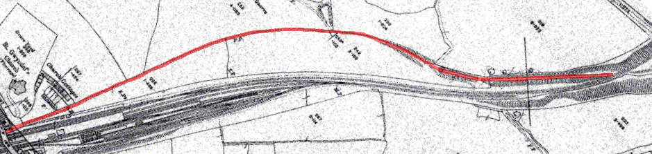
The map shows Dinas on the left, Plas Dinas on the right. This an all subsequent maps read from left to right as the route progresses from Dinas to Caernarfon
Although the route can be traced in this section, little in the way of original structures survives.
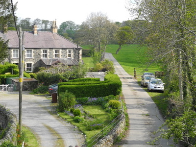
The line starts to diverge from the WHR at Dinas Station bridge, passing beside the row of cottages along a route which is now a farm access road.
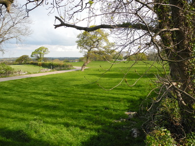
Where the farm road turns sharply to the left, the railway went straight on to cross the field, leaving no trace today.
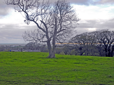
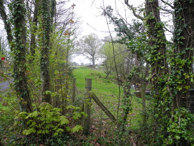
This solitary tree most probably stood beside the line, a lone sentinel marking the former route.
The line curved round to meet up with the field boundary near the farm, where it descends into a shallow cutting.
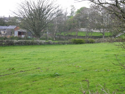
The line approaches the WHR in a cutting at the corner of the field, passing under the WHR at a lower level