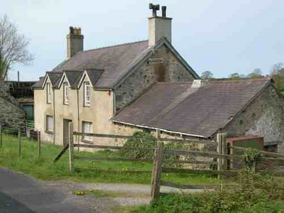
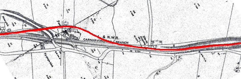
The map shows Pant cottage beside the road bridge with the line running behind it. Recent discussion indicates it actually ran in front of the cottage
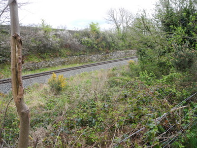
Perhaps the interesting feature in this section is the remains of the transfer sidings.
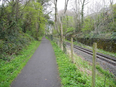
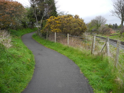
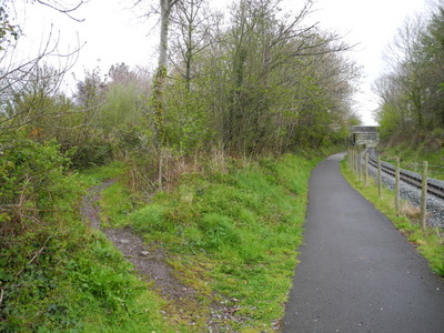
As the line approaches Pant, a footpath runs off to the left on to a slight embankment
This may have been the Nantlle route, but the exact location is unclear. The line went on to cross the Llanfaglan road on the level, all trace being lost under the bank built to carry the road up to the later railway bridge.
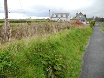
The line probably ran directly in front of Pant farm
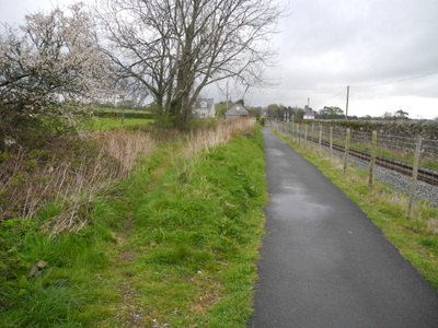
It continued beyond Pant farmh to Hendy crossing
The formation leading up to Hendy crossing is wider, as it was the site of Pant station, the temporary terminus of the Carnavonshire Railway after its opening in 1867.The station was closed when the remainder of the route through Caernarfon was completed in 1870.
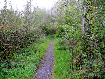
Beyond Hendy crossing the footpath takes a sudden turn to the left on to a rise.
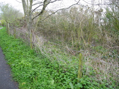
In this overgrown area between the footpath and the WHR was a temporary transhipment point to transfer goods back from standard gauge to narrow gauge for the final journey into Caernarfon, pending completion of the final segment of the Carnarvonshire Railway
The double transfer transfer of slates required after the arrival of the Carnarvonshire Railway, namely from narrow gauge to standard gauge near Penygroes, and back to narrow gauge at Pant, greatly added to the cost of transport as well as causing damage to the cargo, much to the irritation of the quarry owners.
The formation narrows and the routes finally merge into the Coed Helen cutting