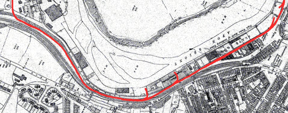
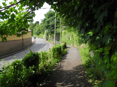
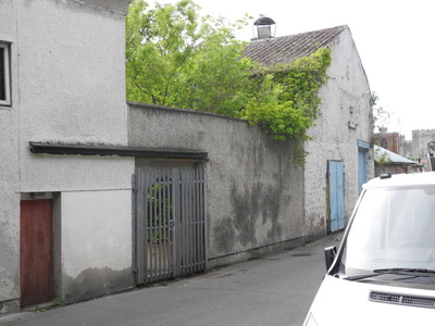
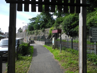
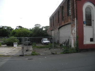
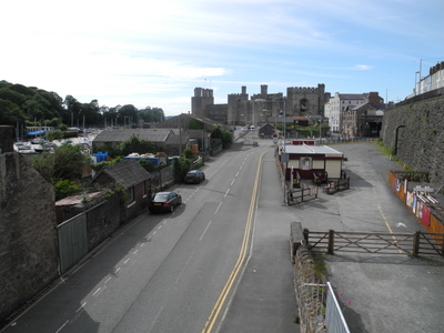
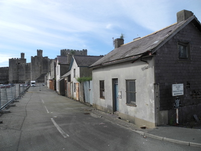
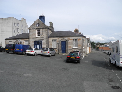
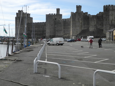
In Caernarfon, after crossing St Helens Road, the line gradually drops down to street level and crosses the road again, heading to the slate quays to end in a complex of 3ft 6in lines serving the quaysides. All trace of the line is lost, but its influence on the geography of the area is still evident.
![](https://www.welshhighlandheritage.co.uk/wp-content/uploads/mapcaernarfonZ-1.jpg)
![](https://www.welshhighlandheritage.co.uk/wp-content/uploads/01-DSCN1342.jpg)
![](https://www.welshhighlandheritage.co.uk/wp-content/uploads/11-DSCN1348.jpg)
![](https://www.welshhighlandheritage.co.uk/wp-content/uploads/02-DSCN2657.jpg)
![](https://www.welshhighlandheritage.co.uk/wp-content/uploads/03-DSCN2659.jpg)
![](https://www.welshhighlandheritage.co.uk/wp-content/uploads/04-DSCN2662.jpg)
![](https://www.welshhighlandheritage.co.uk/wp-content/uploads/05-DSCN2685.jpg)
![](https://www.welshhighlandheritage.co.uk/wp-content/uploads/06-DSCN2665.jpg)
![](https://web.archive.org/web/20201027141912im_/https://www.welshhighlandheritage.co.uk/wp-content/uploads/07-DSCN2666.jpg)
![](https://www.welshhighlandheritage.co.uk/wp-content/uploads/08-DSCN2670.jpg)
![](https://www.welshhighlandheritage.co.uk/wp-content/uploads/09-DSCN2673.jpg)
![](https://www.welshhighlandheritage.co.uk/wp-content/uploads/11-DSCN2676.jpg)
![](https://www.welshhighlandheritage.co.uk/wp-content/uploads/13-DSCN2682.jpg)